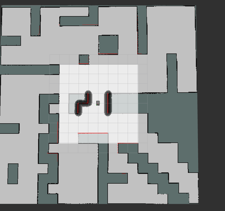
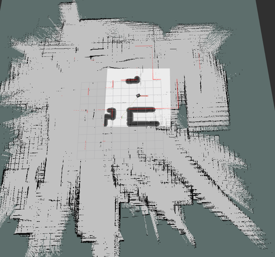
I'm currently trying to use the SLAM toolbox localization node to allow a robot to localize itself and navigate an environment. Everything appears to load in correctly, with the initial RViz screen displaying the expected information. However, after publishing a goal pose in RViz, the rover will begin to move and eventually cause the global costmap to become distorted. The initial map and distorted map can be seen below. From the terminal, I've only found one message that seems to be related which is the following:
[planner_server-5] [INFO] [1729005546.064768186] [global_costmap.global_costmap]: StaticLayer: Resizing costmap to 759 X 711 at 0.050000 m/pix
This would indicate to me that somehow the map resizing is breaking the global map, but am unsure how to resolve this. I'm happy to provide any launch/config files used, but they are currently the simulation configuration as provided by the Rover Robotics repository and can be referenced there.

